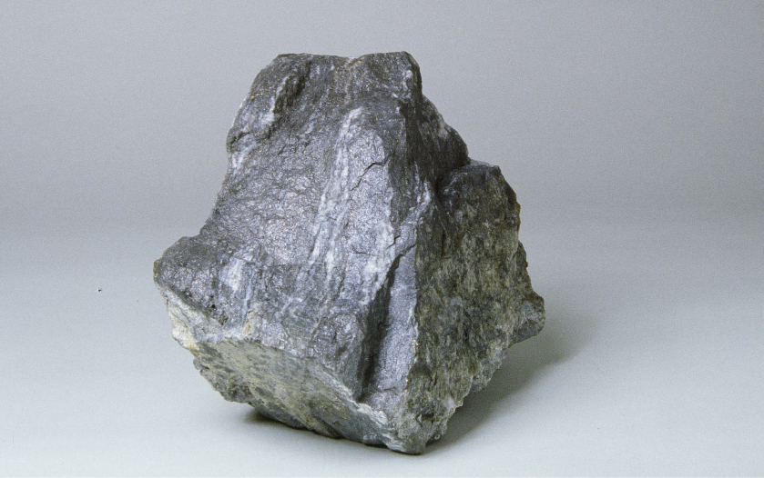
The Lara Project contains a polymetallic volcanogenic massive sulphide (VMS) deposit hosting gold, silver, copper, zinc, and lead. The Property is underlain by the McLaughlin Ridge Formation (Cowichan Lake uplift) which is correlative with the Myra Formation (Buttle Lake uplift) sequence of bimodal volcaniclastic rocks that hosts the Zinc (Zn)-Lead (Pb)-Copper (Cu)-Silver (Ag)-Gold (Au) VMS deposit of Myra Falls (~145 km to the north). The past producing Zn-Cu-Pb-Ag-Au mine and mineralized zones at Mt. Sicker, ~9 km southeast of the Property, are also hosted by the McLaughlin Ridge Formation (Belik, 1981; MINFILE, 1990a).
The Lara Project was the subject of previous exploration activity in the 1980’s consisting of 323 historical drill holes totalling more than 58,263 meters, as well as 679 meters of pre-production underground access and drifting. The most recent exploration work on the Property was a carried out in 1998 by Nucanolan Resources Ltd. who completed a diamond drilling program of 12 drill holes (2,559 meters) with their best reported intersection of 3.16 m@ 2.48% Cu, 1.19% Pb, 12.3% Zn, 49.80 g/t Ag and 2.30 g/t Au.
A Mineral Resource Estimate was completed on the mineralized zones within the Coronation Trend in 2008. In most instances, the significant intersections were reconciled from section to section without the inclusion of low-value intervals. The Coronation Trend was modeled as six discrete zones with a total strike length of approximately 1,180 meters along a 118° trend. The average dip of the zones is approximately 65° to the north-northeast. The true width of the zone models ranges from 2 to 15 meters and averages approximately 5 meters.
The presence of additional polymetallic zones in a predominantly felsic volcanic package and the presence of numerous untested geochemical and geophysical anomalies are encouraging for continued exploration on the Property. These features are complimented by existing infrastructure including nearby power and population centers.
The issuer is not treating the historical estimate as current mineral resources or mineral reserves


